The Marie-Agnes Project is an ongoing underwater archaeological survey project recording the flooded remains of XIX-century zink, lead and silver mine adit using cutting edge digital techniques, to raise awareness of the Lower-Silesia mining history and to help ensure its preservation for future generations.
Marie Agnes is an old silver, lead and zinc mine located in Lower Silesia, Poland (close to German border). It has 3 levels, the 2nd and 3rd are flooded - and those are the ones that are the most interesting for us. Since the excavations were being conducted pretty long time ago (XVIII-XIXth century), there were no explosives used - all tunnels were dug with pickaxes. More about Marie-Agnes history
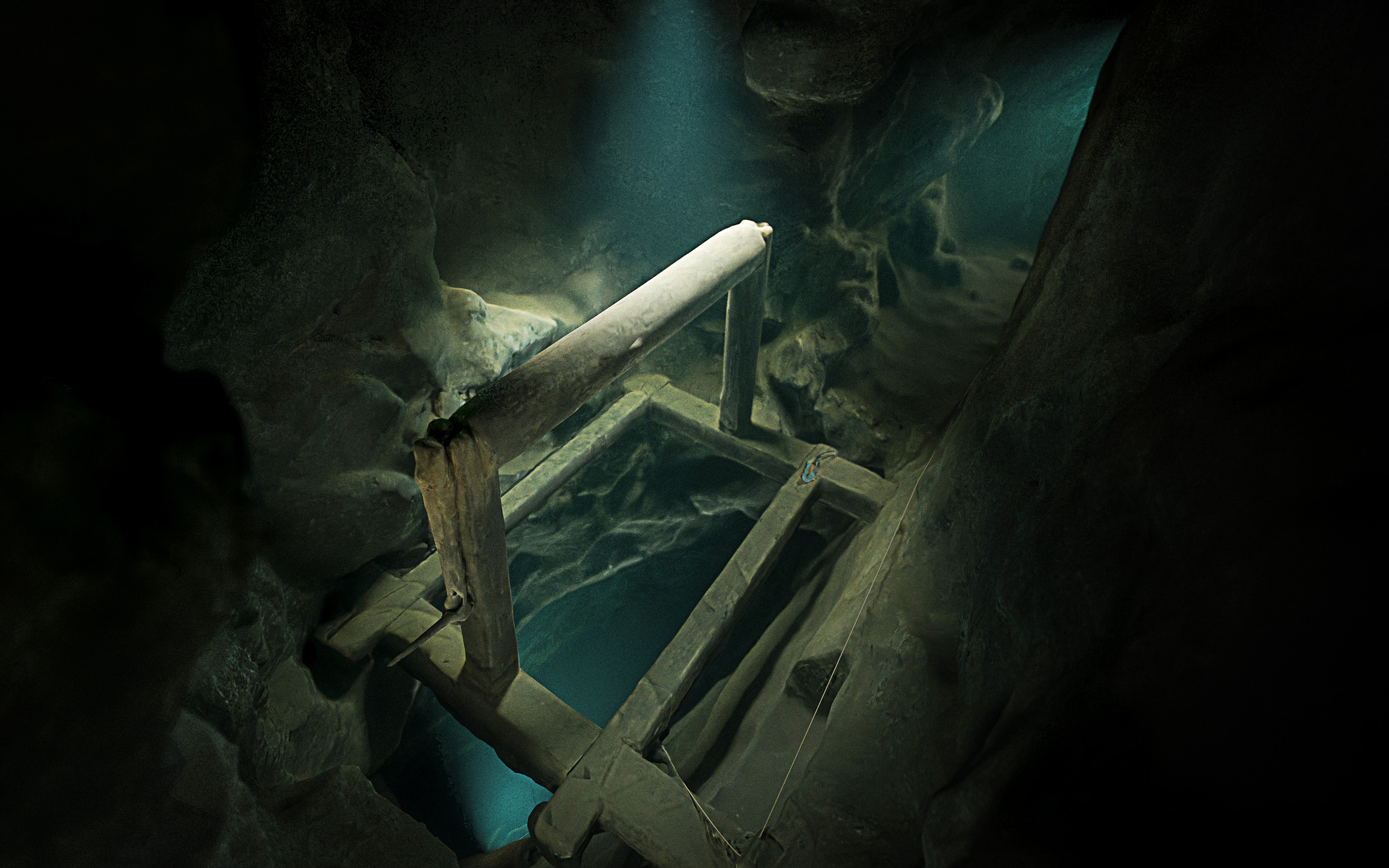
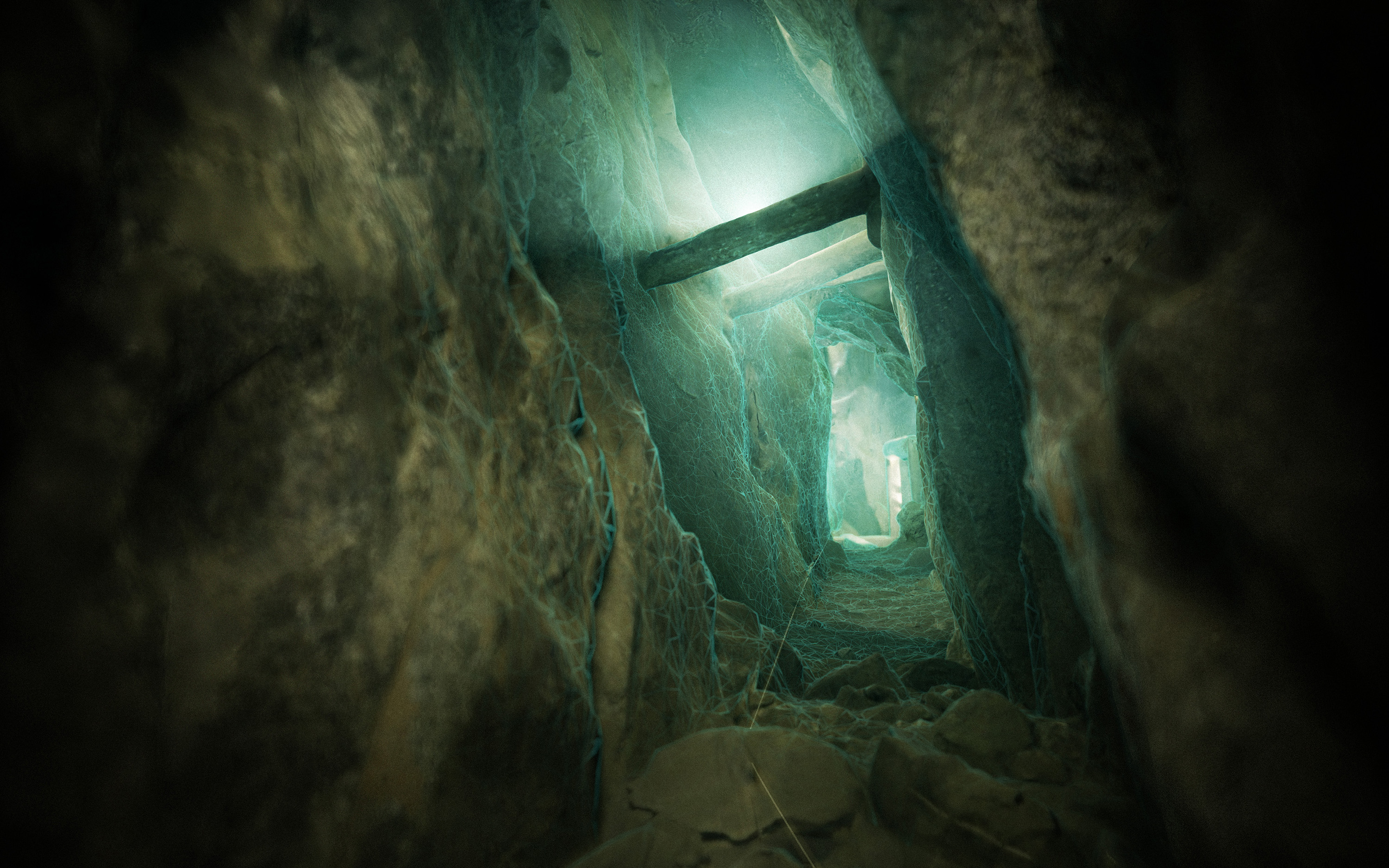
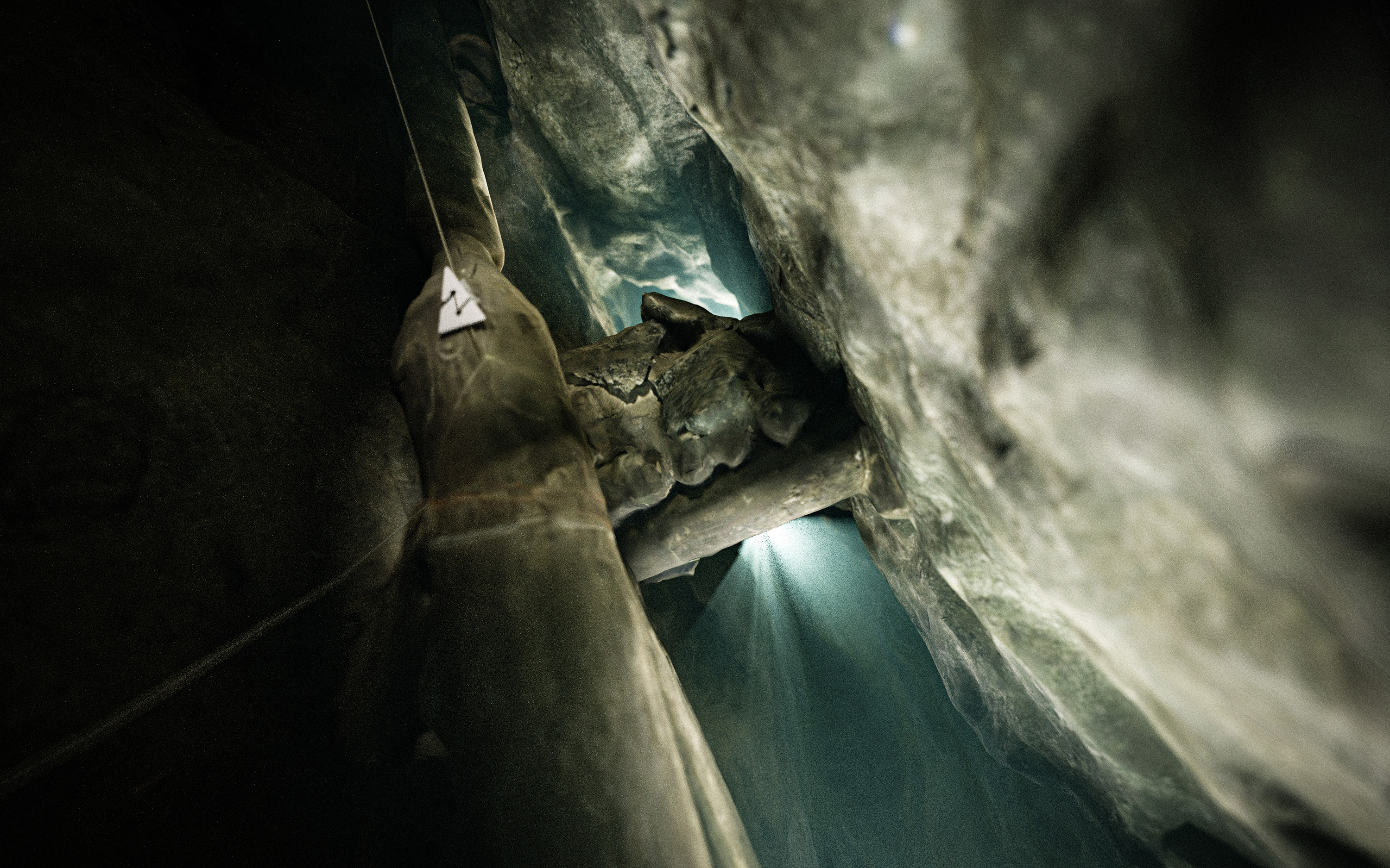
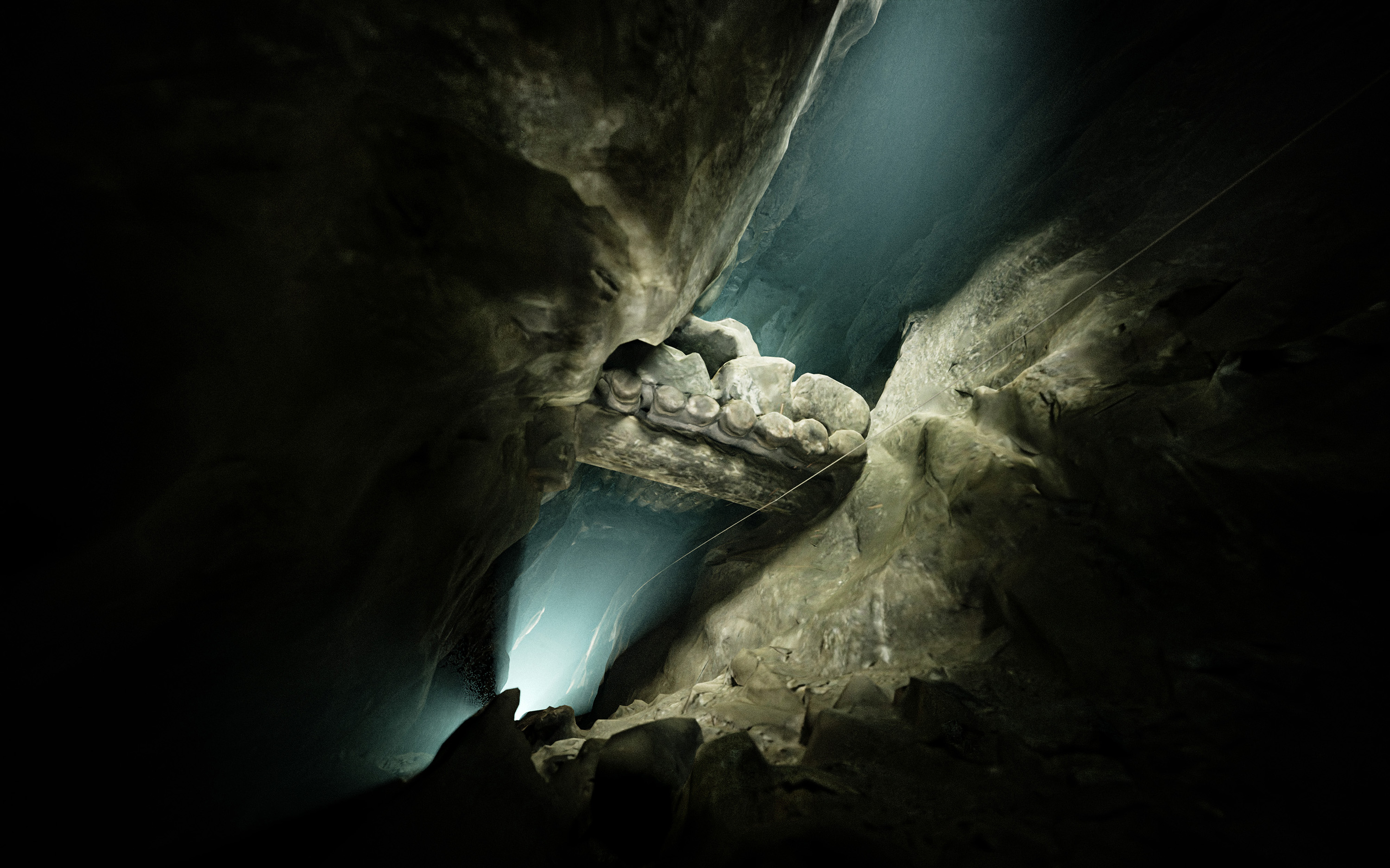
A 3d model reconstructed using photogrammetry workflow allows not only to accurately document the site, but also to present it in a visually appealing way. We use static rendered images, animations and AR/VR experiences.
Despite being a quite popular dive site, Marie Agnes was never mapped properly before. I was planning this project for some time and conducted some exploration dives in order to plan the scannign process properly. In July ‘22 I felt I’m ready to proceed with the actual scanning. The last thing I needed to do before diving was creating a custom camera rig that would work well in very narrow spaces and pick the right light sources for the job.
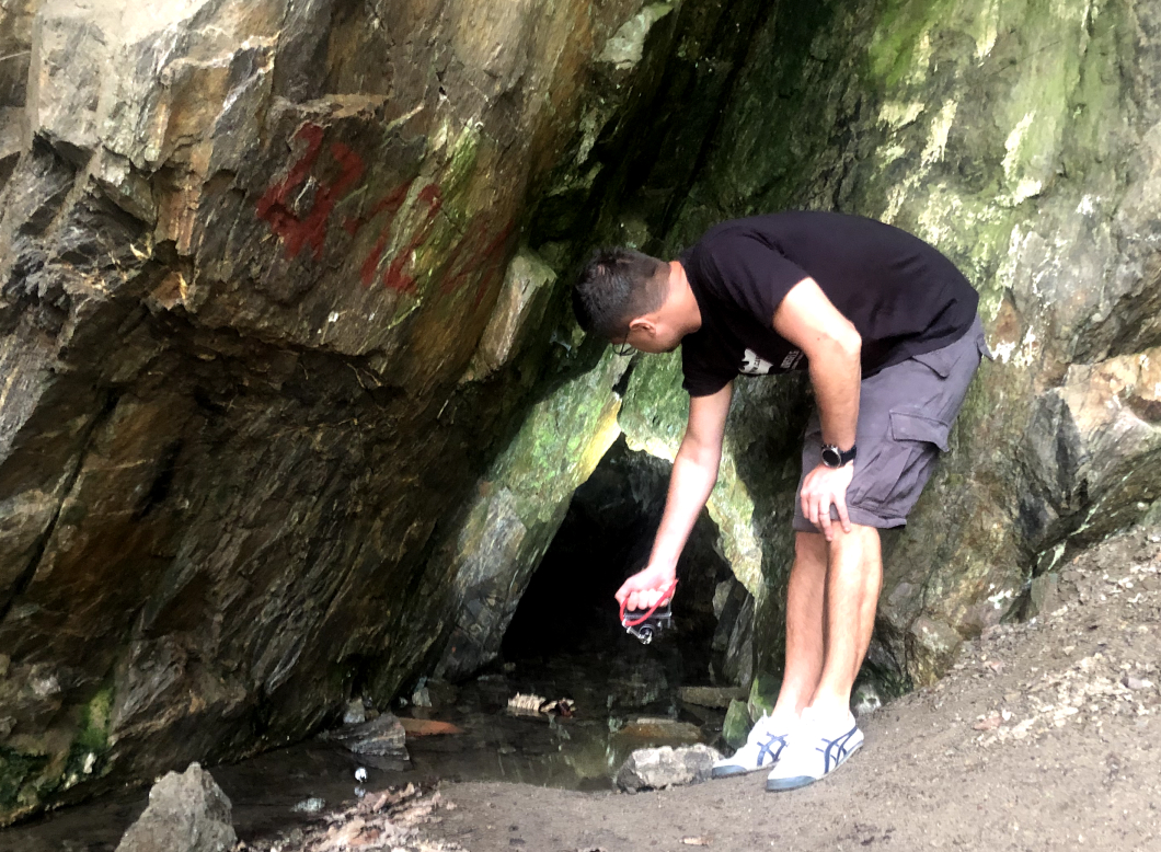
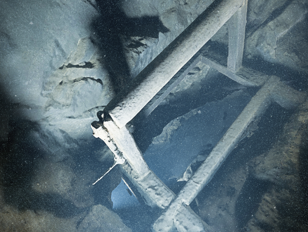
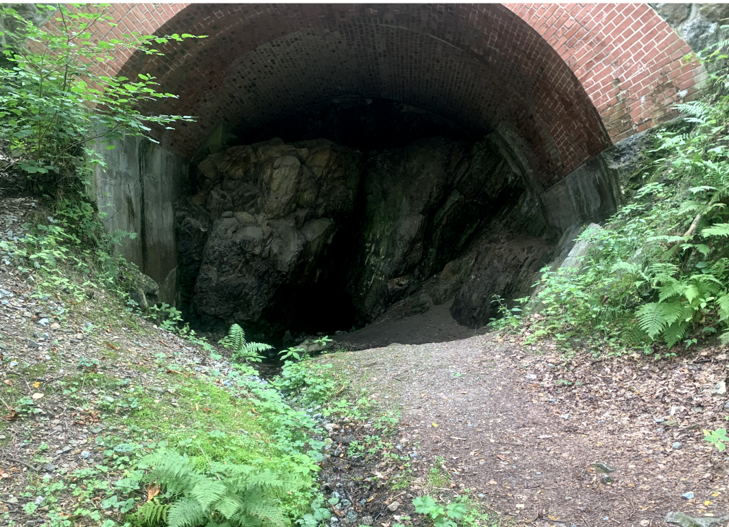
Apart from the flooded levels, I decided to also scan the chamber where the vertical flooded shaft begins and the outside part to show the adit mouth.Though the adit mouth is easily accessible (it’s right next to the road), transporting all the equipment into the mine was a tricky job, especially due to the very tight entrance. After crawling in, I needed to carry the cylinders for about 50m to reach the vertical shaft leading to flooded levels.I ended up doing 4 dives and taking around 12.000 photos. It was impossible to do it within one day, since each dive resulted in stirring up quite a bit of silt, especially in tight passages.
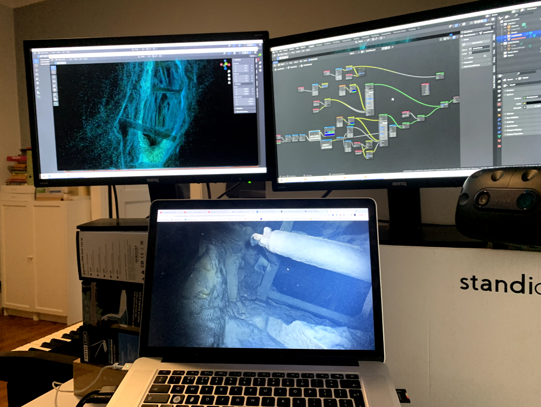
For reconstruction process I used Agisoft Metashape, doing some further 3d work in Blender. There was huge amount of manual work involved, especially when optimising the maera alignment in photogrammetry software. Around 30% photos were blurry - either because of too rapid camera movement or simply to the amount of silt. I ended up manually deciding which ones to use, doing endless trials an errors, finally getting results that were acceptable.
From the very beginning my goal was not to create a 3d model, but to tell the story about this place. The scan was just a tool, nothing more. My aim was to be able to make my non-diving friends feel as if they were visiting the place. And this was where fun began!